
Inundated Underwater Cities
 Show on map January 23rd, 2007
By Jonathan H

Downtown Kennett, California. Notice the “Meat Market” sign in the center building. photo courtesy of the Bureau of Reclamation.
 In 1944, the Bureau of Reclamation closed the gates at Shasta Dam and began inundating the vast network of valleys in the Shasta National Forest. In the valleys resided three unique cities, a fish hatchery, and thousands of residents.
It may not compare to the estimated 1.9 million people displaced by China’s Three Gorges Dam project — a project that is five times as large as the Hoover Dam. However, it was an important location in the West’s history. Some of the largest copper mines resided in the mountains around Shasta. The largest of which was not consumed by the waters of Shasta Lake: The Iron Mountain mine, between Shasta and Whiskeytown. Effluence coming from Iron Mountain has been professed to have a negative pH (the only known natural negative pH). It is more acidic than battery acid.
Not only was there sulfuric acid, there were also smelters, used in the copper refining process. The process of refining copper released toxic smoke into the air. The hills were denuded within a 15-mile radius. The mountains looked like vast victims of a nuclear blast (but that’s a whole other story).
The point of this post was to talk about these inundated towns of Shasta (Baird, Copper City, Elmore, Etter, Morley, Pitt, Winthrop and the largest: Kennett). Kennett boasted a population of 10,000 — it had an opera house, trade stores, hospital, school, as many as 40 saloons, and more.

Kennett was a copper city that boomed in the early 1900s, especially during WWI. Slim Warren’s “Diamond Saloon” was known all across the state as an ornate and dazzling place to imbibe in alcoholic beverages. photo courtesy Shasta Lake Heritage & HIstorical Society.
Before the town was flooded, one of the workers on the dam, Archie Lefler, was interviewed by the Shasta Lake Heritage & Historical Society, saying:
“After our shifts were over, I used to go up to Kennett with a friend and roam around the deserted town. We were just looking around in the deserted, old buildings and saloons, when we found gold coins — some fallen through floors, some hidden in fireplaces and behind walls. We found enough coins during those days that I bought my first two lots in Anderson with the money.”
What does the story of Kennett tell us about Geography? I’ll let you decide for yourself. But one thing I find is that inundated towns tell something about the very real influence we as human beings have on the landscape. However much we may downplay our effects — positing that we are mere ants in the universe — we still have the ability to turn mountains into islands; cities into reefs. And as easily as we can submerge townsites, we can submerge history, never to look back. In the case of Kennett, we buried a place that became barren due to five copper smelters around the town — perhaps because we, as human beings, like to hide our ugly past.


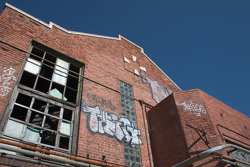
 Glass blocks (also known as glass bricks) can be found in almost every city that existed in the 1930s to the present day. These bricks began as a purely functional, industrial application in factories and warehouses, but grew in popularity in commercial and residential strucutres with the rise of art deco and art moderne.

